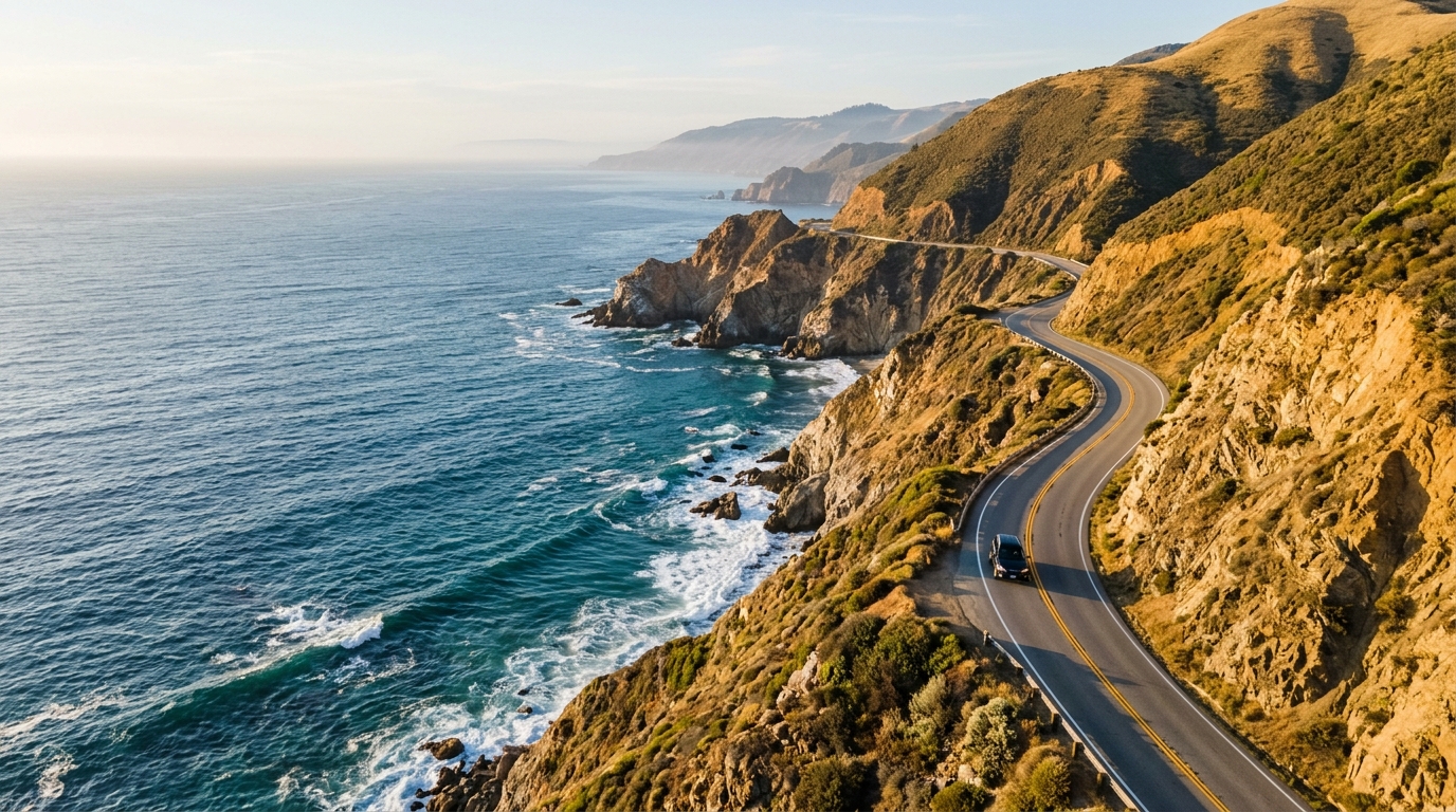
California Highway 1 is one of the most recognizable drives in the country, but it is also a road where a carefully planned itinerary can change quickly. Wildfires, landslides, winter storms, emergency repairs and routine construction can all affect access along the coast, particularly around Big Sur.
That reality has been especially visible in 2026. Highway 1 through Big Sur reopened at Regent’s Slide in January, restoring the coastal connection between Monterey County and San Luis Obispo County after a prolonged closure. Since then, motorists have still encountered temporary weather-related restrictions, construction zones, emergency repairs and wildfire-related closures.
In August, for example, Caltrans announced a temporary 10-mile closure in Big Sur to support emergency operations during the Timber Fire. Other sections of Highway 1 have had one-way traffic control or ramp closures associated with maintenance and construction.
The lesson for travelers is simple: a Highway 1 California road trip should be planned as a flexible journey rather than a fixed sequence of stops. Before heading out, explore our California coastal drives and review our California road conditions guide so you know where to verify conditions close to departure.
Why Highway 1 Plans Can Change Quickly in 2026
Wildfires can close otherwise drivable sections with little warning
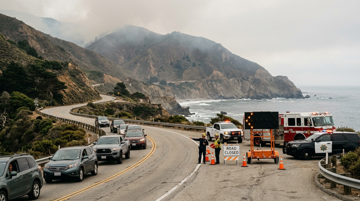
Wildfire activity can affect California travel even when the highway itself has not been physically damaged. Fire crews may need the road for emergency vehicles, evacuation operations or access to areas that are difficult to reach from inland routes. Smoke, falling debris and changing fire behavior can also make travel unsafe.
On August 11, 2026, Caltrans announced that a roughly 10-mile section of Highway 1 in Monterey County was being closed to support the Timber Fire response. The closure extended from approximately two miles north of Julia Pfeiffer Burns State Park to the Fernwood area.
Caltrans advised motorists to avoid unnecessary travel through the affected region and identified US 101 as the alternate route. That illustrates why checking Highway 1 conditions only when you first begin planning a vacation is not enough. Conditions can change between booking your hotel and starting the drive.
Big Sur fire closures can force a US 101 detour
Travelers sometimes underestimate how significant a Highway 1 closure can be. The coastal route does not have a convenient parallel highway running beside it through much of Big Sur. When a central segment closes completely, continuing south or north may require returning to an inland connection and using US 101.
That can turn what looked like a short distance on a map into a substantially longer drive. If your itinerary depends on reaching accommodations, restaurants, attractions or another city by a specific time, a closure can affect the entire day.
A flexible approach works better. Instead of building a trip around an exact arrival time at every stop, identify your highest-priority destinations and know which ones can be skipped if conditions change.
It is also useful to save alternative overnight locations. Someone driving south from Monterey may decide to spend more time around Carmel or northern Big Sur if access farther south changes. A northbound traveler could similarly adjust plans around Cambria, San Simeon or San Luis Obispo rather than spending hours trying to work around a closure.
Construction and emergency repairs may create delays even when the road is open
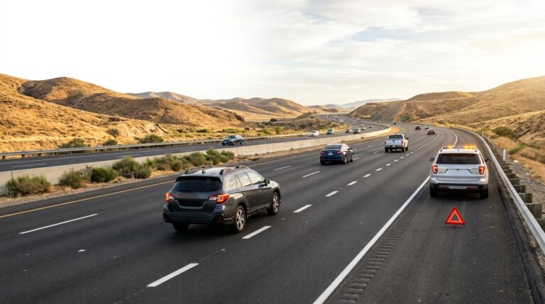
A Highway 1 road trip does not have to encounter a complete closure to experience delays. California’s coastline requires continuous maintenance, and construction projects can create one-way traffic control, reduced speeds, temporary signals and closed ramps.
In August 2026, Caltrans scheduled daytime one-way reversing traffic control south of Big Creek Bridge in Monterey County while crews modified drainage features and temporary barriers. The agency advised drivers that delays could reach about 10 minutes during the work period.
Elsewhere on Highway 1, projects can affect individual exits rather than closing the main roadway. In Santa Cruz County, for example, the southbound Highway 1 off-ramp at Bay Avenue began a long-term closure in August as part of a larger auxiliary-lane and bus-on-shoulder project.
These projects may seem minor individually, but several delays can add up over a full coastal drive.
One-way traffic and ramp closures can change timing
Big Sur itself has also required substantial geotechnical work. Regent’s Slide originally closed a 6.8-mile section of Highway 1 in 2024 after a major landslide. Caltrans reopened the route in January 2026, restoring through travel between Carmel and Cambria, but the agency noted that travelers could still experience occasional closures or delays as crews continued work and responded to debris following seasonal weather.
Emergency repair work has also taken place near Point Sur after an embankment failure affected the southbound lane. Work there has included temporary closures and one-way signalized traffic control.
For road-trip planning, that means “open” should not always be interpreted as “normal traffic at full speed.” A route can technically remain open while still requiring additional travel time.
If you are planning several viewpoints, beaches or food stops in one day, avoid creating an itinerary that requires every section to run exactly on schedule. Highway 1 is best enjoyed when you have enough time to absorb delays without needing to rush through the scenic parts of the drive.
How to Plan a Highway 1 Road Trip When Conditions Are Uncertain
Build a flexible route instead of treating Highway 1 as a fixed itinerary
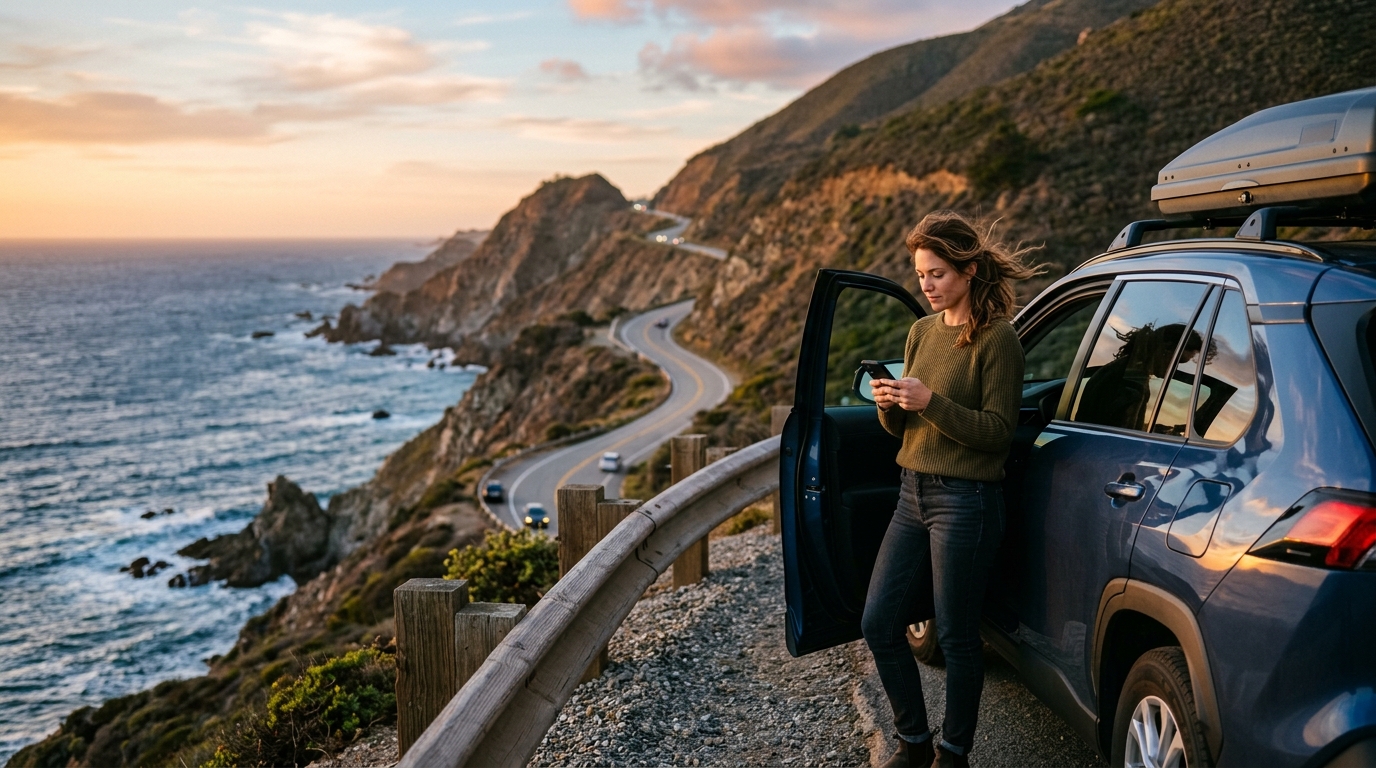
The best strategy for Highway 1 in 2026 is not to avoid the route. It is to prepare for change. Many stretches remain accessible and provide some of California’s best driving scenery, but the coastline demands more active trip planning than a normal interstate journey.
Start by dividing the trip into regions rather than assuming you will drive the entire coastline continuously. Monterey and Carmel can form one segment. Big Sur can be another. Cambria and San Simeon can serve as a Central Coast segment, while destinations farther south can be planned separately.
Our Central California road-trip guides and California weekend drives can help you create alternatives if one portion of the coast becomes difficult to reach.
Check conditions before leaving and again during the trip
Caltrans QuickMap should be one of the last things you check before starting a Highway 1 drive. It provides current information on road closures, traffic incidents and other transportation conditions. A morning check is particularly important when wildfire activity, storms or active construction are affecting the coast.
Do not rely entirely on an itinerary saved weeks earlier or on screenshots of old closure maps. Even search results and social media posts can become outdated quickly.
If you are staying overnight along the route, check conditions again before leaving the hotel the following morning. A multi-day road trip can encounter an entirely different situation on day two than existed when the trip began.
Drivers should also pay attention to electronic message boards and official instructions along the highway. When emergency personnel close a road, attempting to find an unofficial way around the closure can place both travelers and responders at risk.
Keep fuel, charging and overnight stops flexible
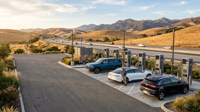
Highway 1 also requires basic vehicle preparation. Fuel stations and EV charging locations can be much farther apart in remote coastal sections than they are in California’s major cities. A detour can increase that distance substantially.
Gasoline drivers should avoid beginning a remote stretch with a nearly empty tank. EV motorists should identify more than one charging option and consider how an inland detour could change energy use. Our California EV road-trip guide can help electric-vehicle drivers build charging stops into longer routes.
Before departing, check tire pressure, fluid levels and the general condition of your vehicle. Explore our vehicle maintenance guides if you are preparing for a longer California trip.
Carry water, keep your phone charged and download essential route information when traveling through areas where mobile service may be inconsistent. If wildfire smoke or severe weather begins affecting the area, be prepared to change destinations rather than treating the scenic route as something that must be completed.
Most importantly, leave extra time. Highway 1 is not a road where arriving 20 minutes later should ruin the day. Scenic pullouts, construction, wildlife, traffic and unexpected route changes are all part of coastal travel.
The reopening of Regent’s Slide in January 2026 was a major improvement for through travel along Big Sur, but this year’s temporary wildfire closures and ongoing maintenance show why California motorists still need to check conditions before every trip.
A successful Highway 1 road trip is not necessarily the one that follows the original itinerary perfectly. It is the one that adapts safely while still allowing you to experience the California coast.
Before starting your drive, check the latest information through Caltrans QuickMap for current California highway conditions.